Northern Arizona - Highway 89A

This site may earn a commission from merchant affiliate links, including eBay, Amazon, and others.

TerryMiller

Sharpshooter
Special Hen
Joined
Jun 4, 2009
Messages
18,742
Reaction score
18,447
Location
Here, but occasionally There.
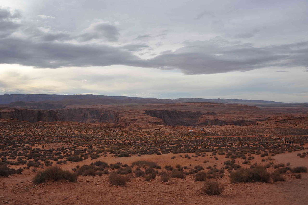
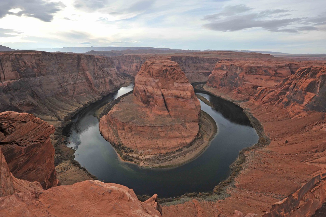
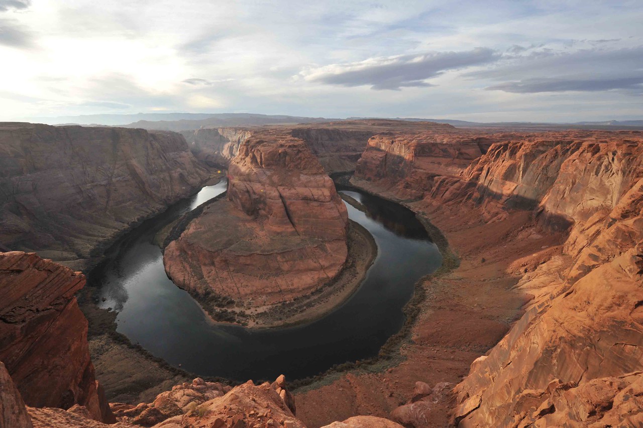
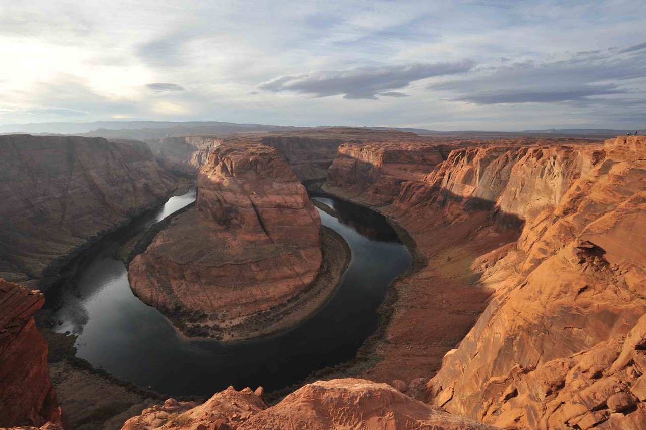
About a week or so ago, our youngest son came out here to Utah for his vacation. (For some reason, he likes going where mom and dad are for those.) While he was here, we visited the Grand Canyon's North Rim, Zion National Park, and Bryce Canyon National Park. After all those, we decided to take Highway 89A our of Kanab, Utah south into Arizona and over to Page, AZ. My primary interest at the time was seeing Horseshoe Bend and perhaps Lake Powell.

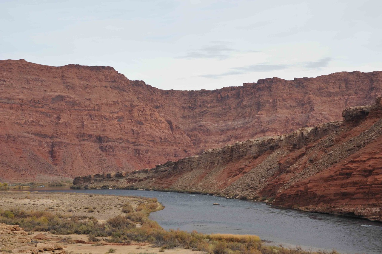
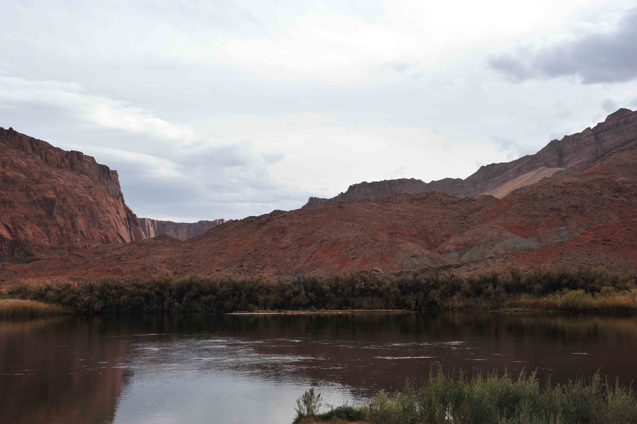
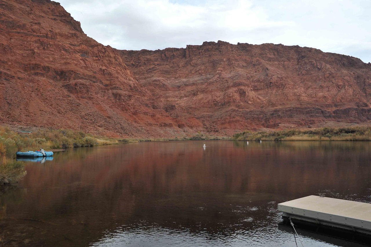
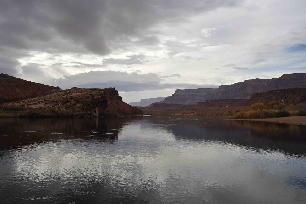
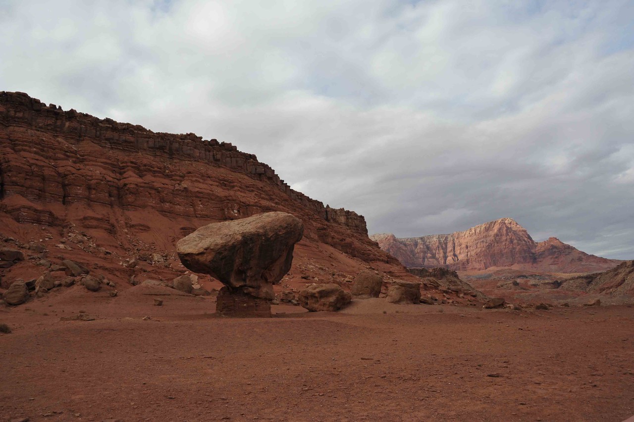
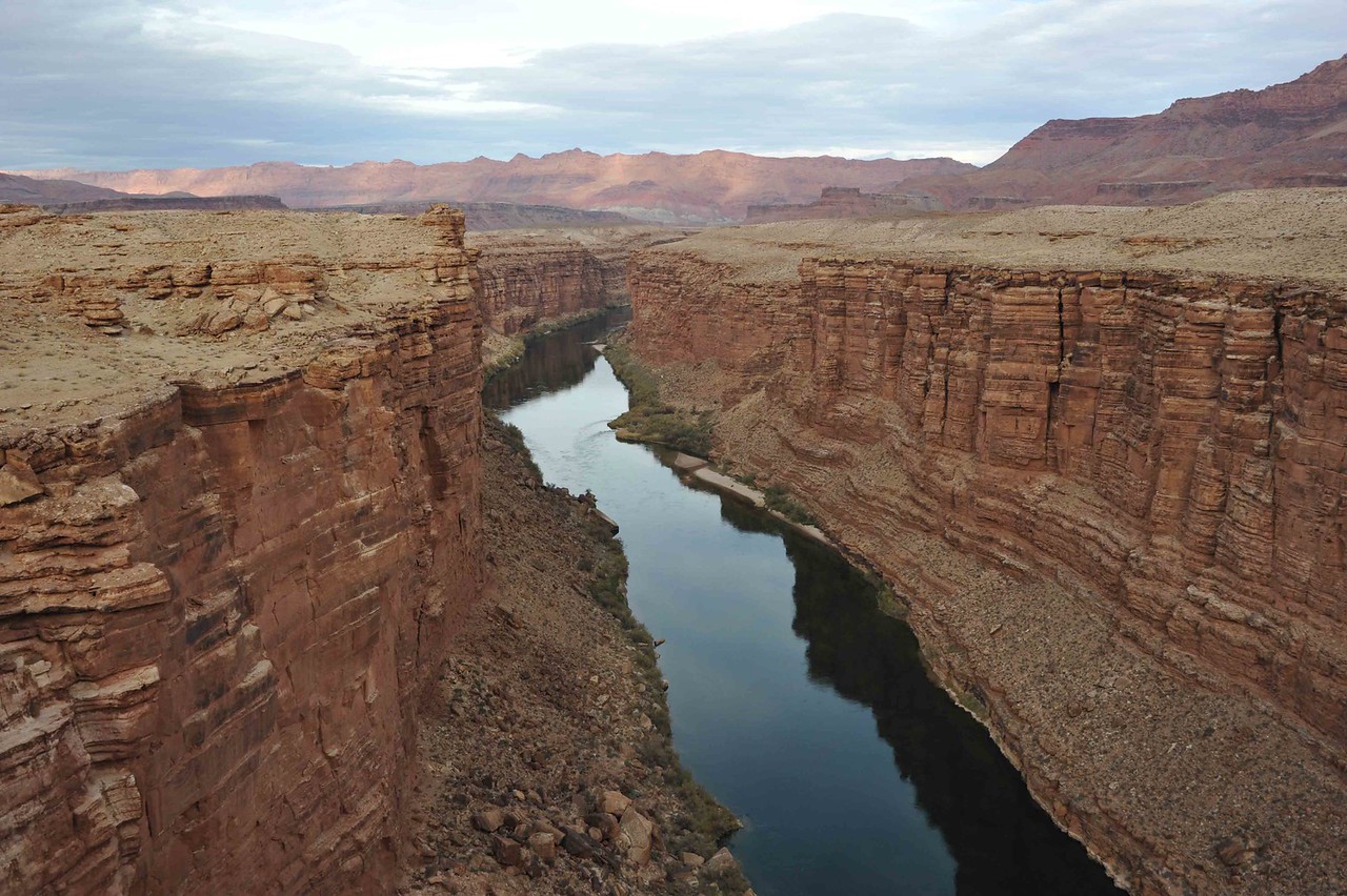
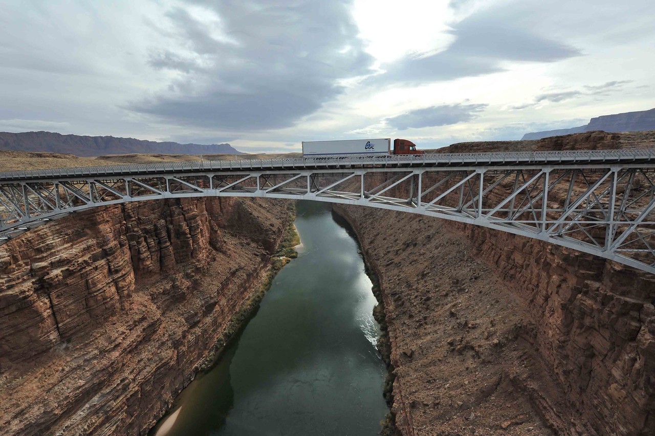
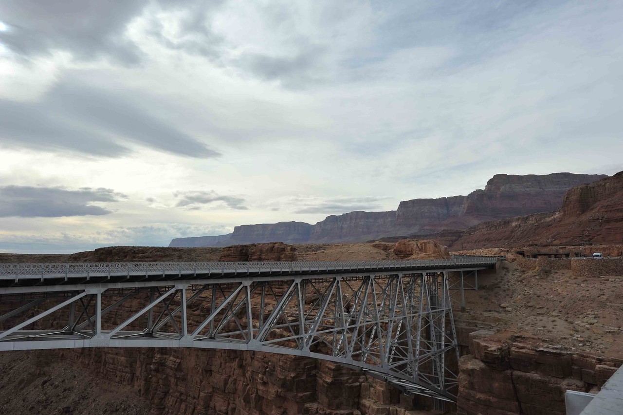
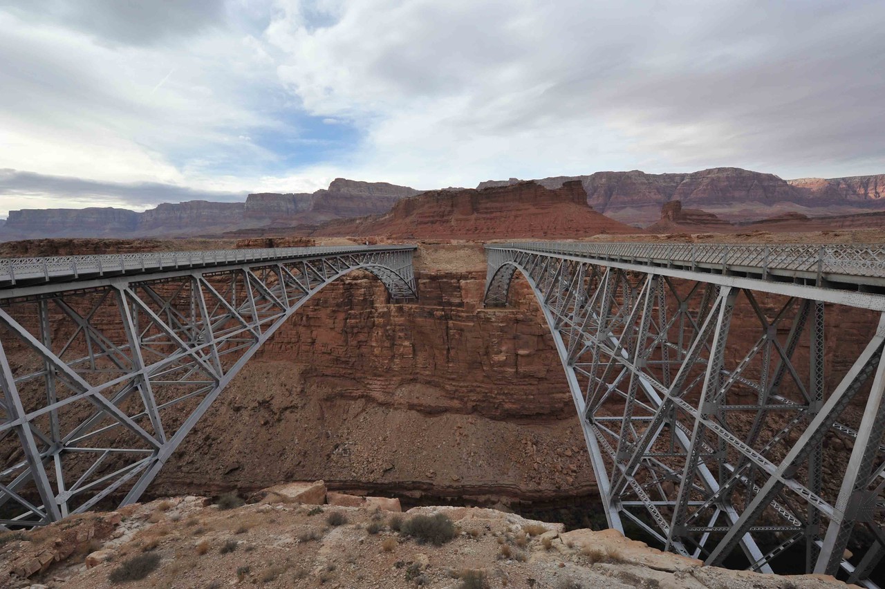
As things turned out, there was so much more to see than just those two places, and we got around too late to really see anything of Lake Powell. However, we found great beauty in the Vermillion Cliffs that Highway 89A runs parallel to, Lee's Ferry, and Marble Canyon with the Navajo Bridges.

The following pictures will include about 5 photos of each of those places that we stopped. Since the forum allows 5 photos per post, there will be at least 4 postings within this thread initially. So, let's start with the Vermillion Cliffs.

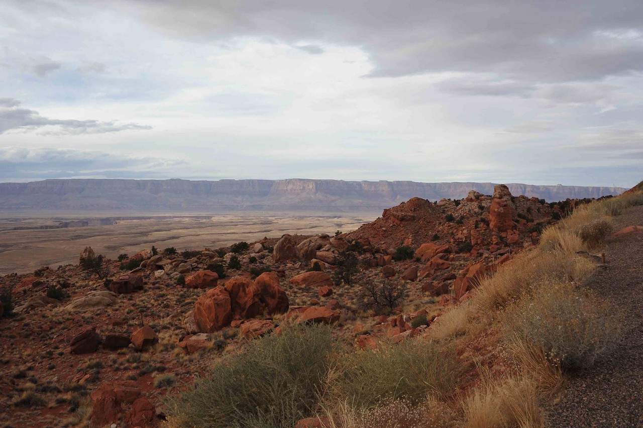
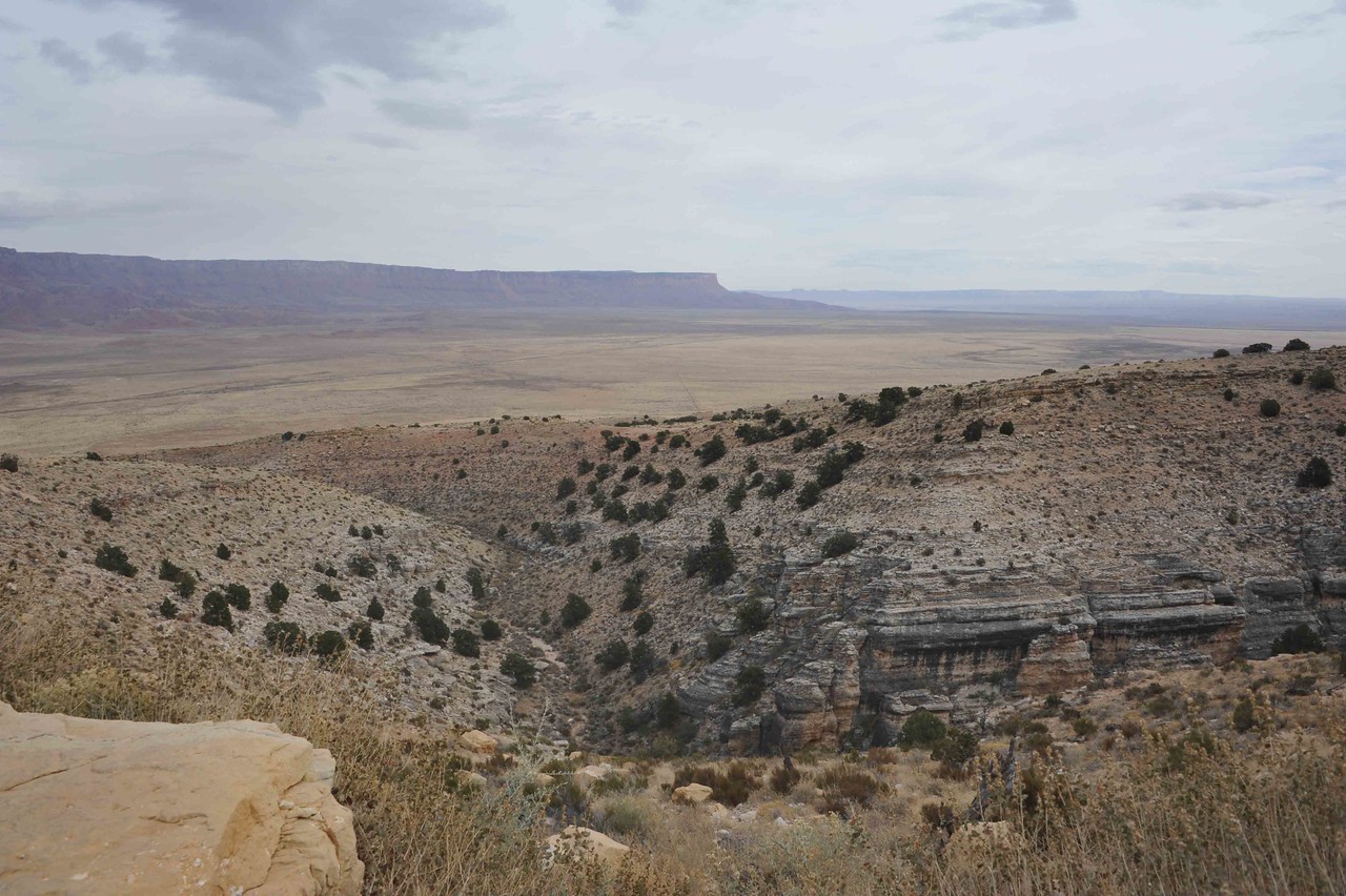
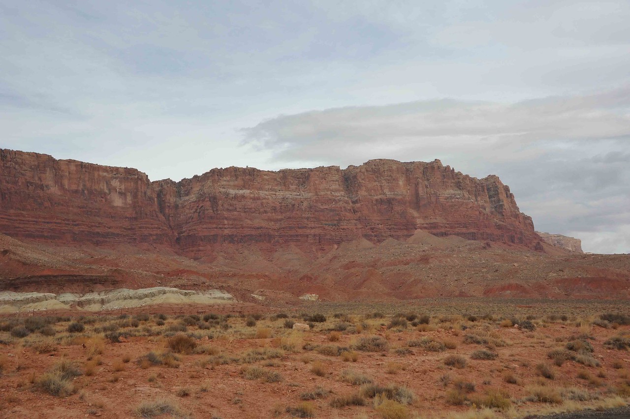
89A goes south of Kanab to Jacob Lake and then cuts back to the east to intersect with Highway 89 south of Page. As such, it comes down off of the Kiabab plateau before getting into the flats of the valley along the cliffs. This first picture was taken from an overlook as we were descending off of the plateau.


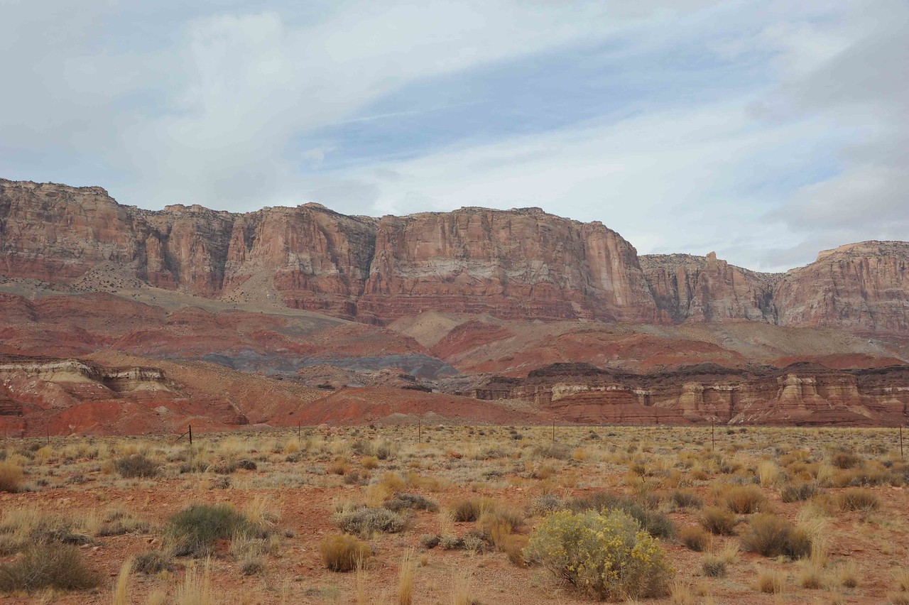
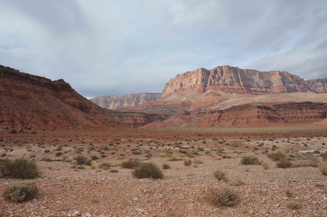
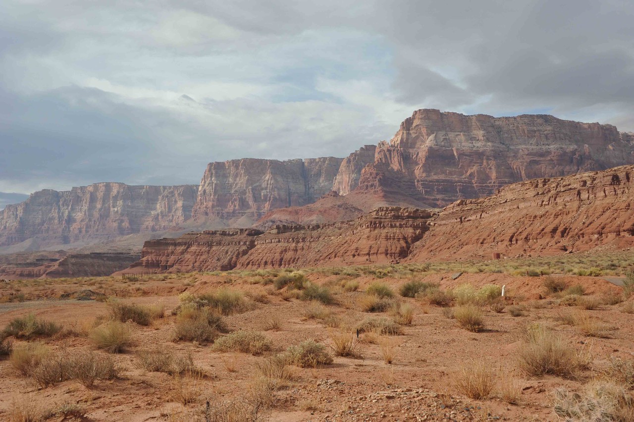
Now, to the cliffs themselves.


TerryMiller

Sharpshooter
Special Hen
Joined
Jun 4, 2009
Messages
18,742
Reaction score
18,447
Location
Here, but occasionally There.
We stopped at Lee's Ferry State Park for lunch and took the opportunity to take some photos of the Colorado River in that area. This park is the starting point for a lot of rafters, kayakers, etc that are wanting to go down the Colorado River. For those that know their history, Lee's Ferry was a crossing point for the Colorado to avoid having to go all the way around the Grand Canyon.


The pier in this photo is used by fishermen that want to go up the Colorado River (and possibly some to go down) for fishing.


Trust me, it took time to put this cairn together.


TerryMiller

Sharpshooter
Special Hen
Joined
Jun 4, 2009
Messages
18,742
Reaction score
18,447
Location
Here, but occasionally There.
Prior to the Colorado River getting to the Grand Canyon, it goes through Marble Canyon. Where 89A crosses Marble Canyon, there are two bridges called the Navajo Bridges. The upstream bridge was the original, but over time it has been joined by a stronger bridge just downstream of the first. The original bridge is now solely for pedestrian traffic with the newer one being for vehicles.

This image is looking upriver from the Navajo Bridges.


Looking downstream from the pedestrian bridge.


We are still close to the Vermillion Cliffs, which are but one of the "steps" of the Grand Staircase - Escalante.


The two bridges with the pedestrian bridge to the right. At the far end of the bridge is a visitor's center, and at the end from where the picture was taken, local Navajo artisans set up tables to sell some of their wares. There was some beautiful stuff there in the form of jewelry and pottery, with some of the pottery being decorated with the use of horse hair. I was reluctant to ask the ladies selling their wares if I could just take pictures of their goods. Next time I go there, I won't be so reluctant.


This picture was actually taken from Highway 89 up on a ridge heading to Page, AZ. To the left in the photo, the gash in the earth is Marble Canyon. I have other pictures on my Smugmug page, so if anyone wants to see more photos, feel free to click on the link to that site in my signature area.


TerryMiller

Sharpshooter
Special Hen
Joined
Jun 4, 2009
Messages
18,742
Reaction score
18,447
Location
Here, but occasionally There.
Horseshoe Bend is probably one of the most photographed places in all of the Colorado River images. That is largely so because it is right off of Highway 89 from Flagstaff up to Page and is just a few miles from Page. There is a walk of about 3/4 of a mile from the parking lot to the overlooks to the Bend. Our friends and co-workers that have worked in the national parks has said that since the tour buses found Horseshoe Bend, there is a lot more visitors to the site. We went at a time when tourism is down, so there was only one tour bus there when we arrived, although there was still a lot of people.

This first image shows what looks to be a "bridge" in the center. In reality, that is the ridge around which the river flows, creating the Bend.


When we arrived, it was pretty cloudy and late in the day, so I had to deal with some images without a lot of light. Later in our visit, the sun began to come out and really highlighted the canyon walls, enough so that I ended up getting solar flares in the images because of using a wide angle lens that can't really use a lens hood. So, you will now see the contrast in the lighting. We will need to return when the time is closer to noon and not so cloudy.


Of course, when we first arrived, I immediately went to taking pictures of the Bend. It was later and just before we left that I stopped at the informational sign. That is when I found out I might have been standing on "shaky" ground. When I was taking some of the pictures, I was right at the edge of the cliff.


Who am I kidding? Of course I'll do it again.
 

Foghorn

Sharpshooter
Special Hen
Joined
Sep 5, 2009
Messages
854
Reaction score
176
Location
OKC
Sweet pics!! Makes wanna head that way now instead of waiting for my daughter to be out of school! How were vermilion cliffs? It's on the possible list of places to hit on the way up to zion

Sent from my SAMSUNG-SM-G891A using Tapatalk
 

TerryMiller

Sharpshooter
Special Hen
Joined
Jun 4, 2009
Messages
18,742
Reaction score
18,447
Location
Here, but occasionally There.
Sweet pics!! Makes wanna head that way now instead of waiting for my daughter to be out of school! How were vermilion cliffs? It's on the possible list of places to hit on the way up to zion

Sent from my SAMSUNG-SM-G891A using Tapatalk

We were actually astounded with the beauty of the Vermillion Cliffs. As I had mentioned, I was primarily going that way to see Horseshoe Bend and Marble Canyon. I had no idea of what the Cliffs looked like. Later in the week, we made a trip back to Page, AZ because we couldn't see anything along Highway 89 between Page and Kanab. That area also has its own beauty.

Go on down to my signature area to go see all my photos at Smugmug, of if the Cliffs are all that interests you, click on one of the pictures above and it will direct you to the image at Smugmug where you can use the arrow keys to scroll back and forth to see all the photos that I took.

It is hard to appreciate Lake Powell if one isn't a boater because it is spread out so much with so many side canyons. They have a boat tour that is something like 7 hours long that takes one up to a point where one can then hike into the Rainbow Bridge arch on tribal land. We might someday take that tour.
 

Latest posts

Top Bottom