OSA Chit Chat Thread

This site may earn a commission from merchant affiliate links, including eBay, Amazon, and others.
Joined
Dec 9, 2008
Messages
87,561
Reaction score
69,679
Location
Ponca City Ok
On my second cup at the moment, after which I should get up and go shave, put in the teeth, and get dressed.

I decided just now to do something I haven't done in some time and that is post some pictures. Dennis' comment prompted me to rub it in a bit. However, in all honesty, the following pictures were taken back in 2009 and thus, way before the need for face diapers.

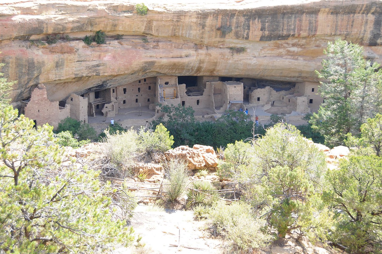
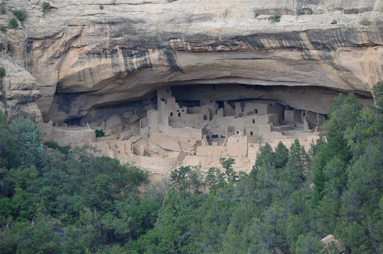
Mesa Verde pictures.

Spruce Tree House area.
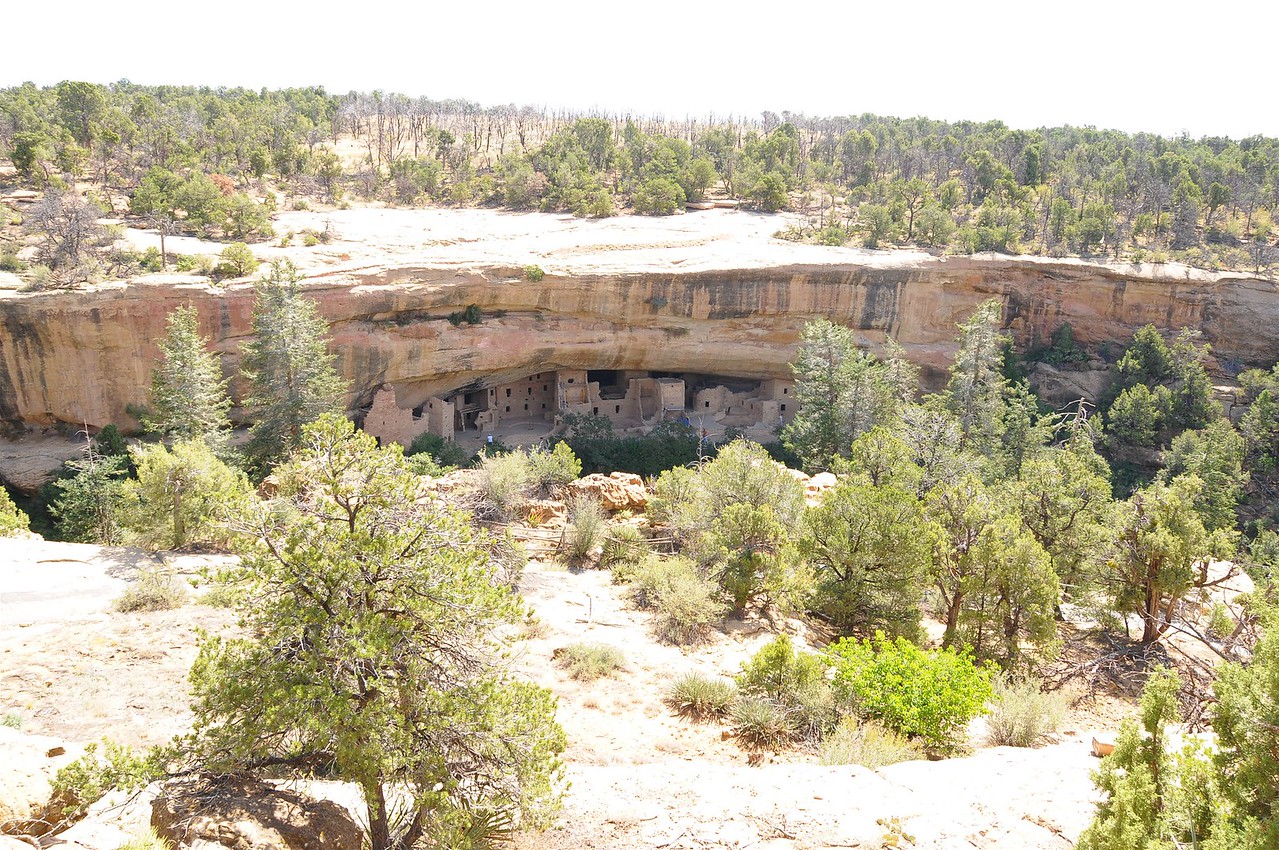


Perhaps of interest to some, such as myself, the cliff ruins also had other "rooms" off away from the main set of structures.
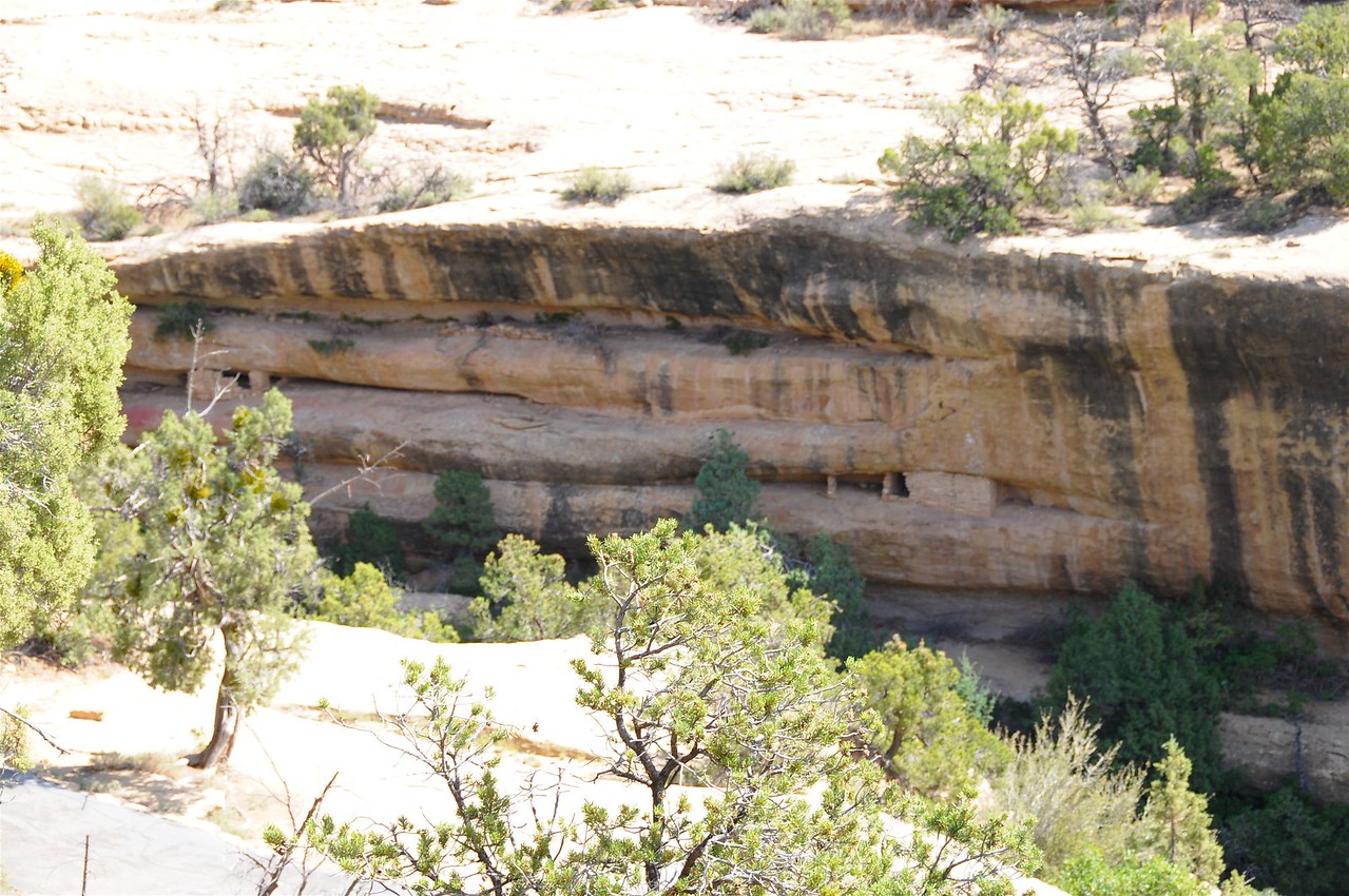
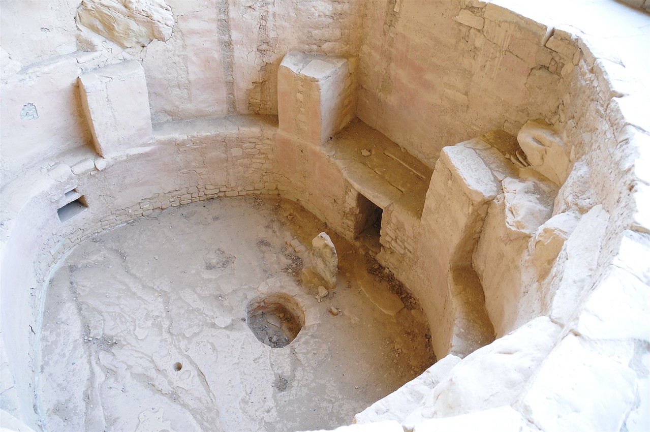


Cliff House
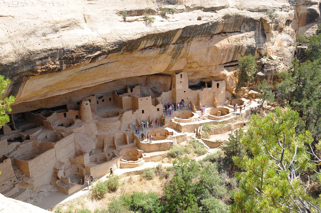


Hemenway House Ruins
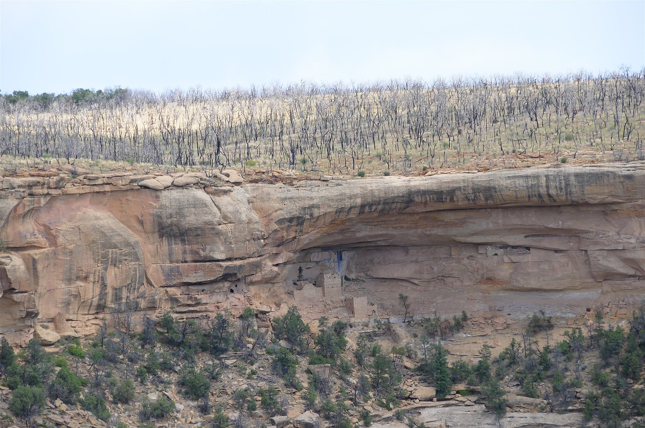


Square Tower House Ruins
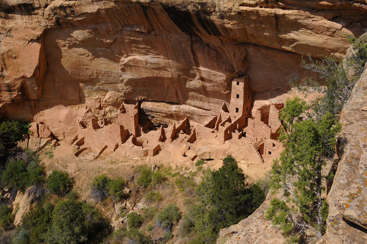


Balcony House area. Two or three structures here, one of which is somewhat destroyed.
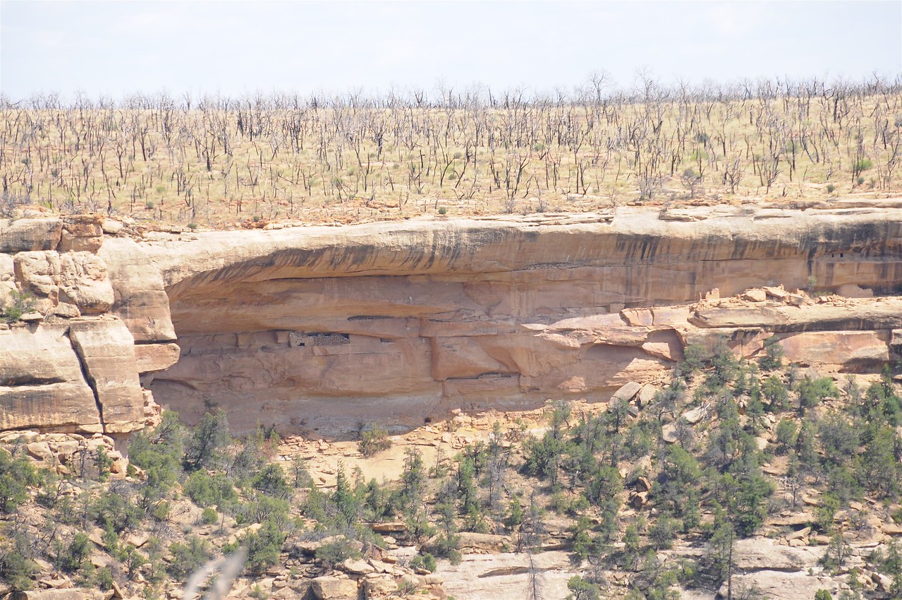


Sun Point View area


Oak Tree House - Multiple structures on different levels of the cliff face.
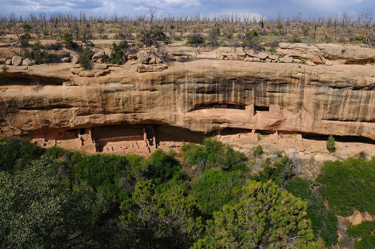


I had wanted to go to Mesa Verde for years, but the one year prior when I had a fair opportunity to go, they were having fires in the area. I think one can see burned out trees in one of the photos above. Maybe more than one, but I'd have to look again. I was more interested in showing the different "house areas" than getting into details of what is there.

As a reminder, my photos are embedded in the forum in such a way that one can click on the image here at OSA and be directed to that photo on my Smugmug site. Then, clicking on the "X" towards the upper right, one can "exit" from the single image to where one can see the thumbnails in the rest of the gallery.
Great pics Terry. Two years ago when staying at Lake Powell Utah, I noticed the black streaks running down the face of the cliffs like in your pics.
Never could get any answer from anyone that might actually know. Heard a lot of crude oil comments, but there is no drilling going on in that area in the past or projected into the future.
 
Joined
Dec 9, 2008
Messages
87,561
Reaction score
69,679
Location
Ponca City Ok
Got up early this morning to visit the lapidary shop which is becoming the norm. Working on the third stone handled knife while using one of the big saws to cut slabs from a brown jasper rock we found on the Apache trail which has been called the most scenic highway and most treacherous in the US. (By those in Arizona) It does have quite the history behind it's construction and worth checking out the link.
History of the Apache Trail
Sadly, the road is not completely open. A fire followed by a major flood took out a bridge and ADOT says they won't repair it, so private donations are being taken to restore the bridge and allow vehicles to travel the complete circle again.
 

TerryMiller

Sharpshooter
Special Hen
Joined
Jun 4, 2009
Messages
19,897
Reaction score
20,750
Location
Here, but occasionally There.
Great pics Terry. Two years ago when staying at Lake Powell Utah, I noticed the black streaks running down the face of the cliffs like in your pics.
Never could get any answer from anyone that might actually know. Heard a lot of crude oil comments, but there is no drilling going on in that area in the past or projected into the future.

While my initial thought when looking at one photo was that it might be a result of the smoke from some of their fires (some of those are above one of the ceremonial pits), that doesn't explain some of the other photos where the streaks are really wide. Since the photos are from different ruin sites, it still might be a result of smoke from some type of wood that I'm not familiar with.
 

turkeyrun

Sharpshooter
Special Hen
Joined
Feb 11, 2013
Messages
10,310
Reaction score
11,059
Location
Walters
We enjoyed our trip to Mesa Verse. Breathtaking views. Those black streaks are a mystery, we asked the rangers/guides. They had no answer. My guess was smoke. The natives burned a lot of creosote, for smoke signals. I have heard, but wasn't around to know for sure.
 

Latest posts

Top Bottom