Recent Trip to South Dakota

This site may earn a commission from merchant affiliate links, including eBay, Amazon, and others.

TerryMiller

Sharpshooter
Special Hen
Joined
Jun 4, 2009
Messages
20,099
Reaction score
21,134
Location
Here, but occasionally There.
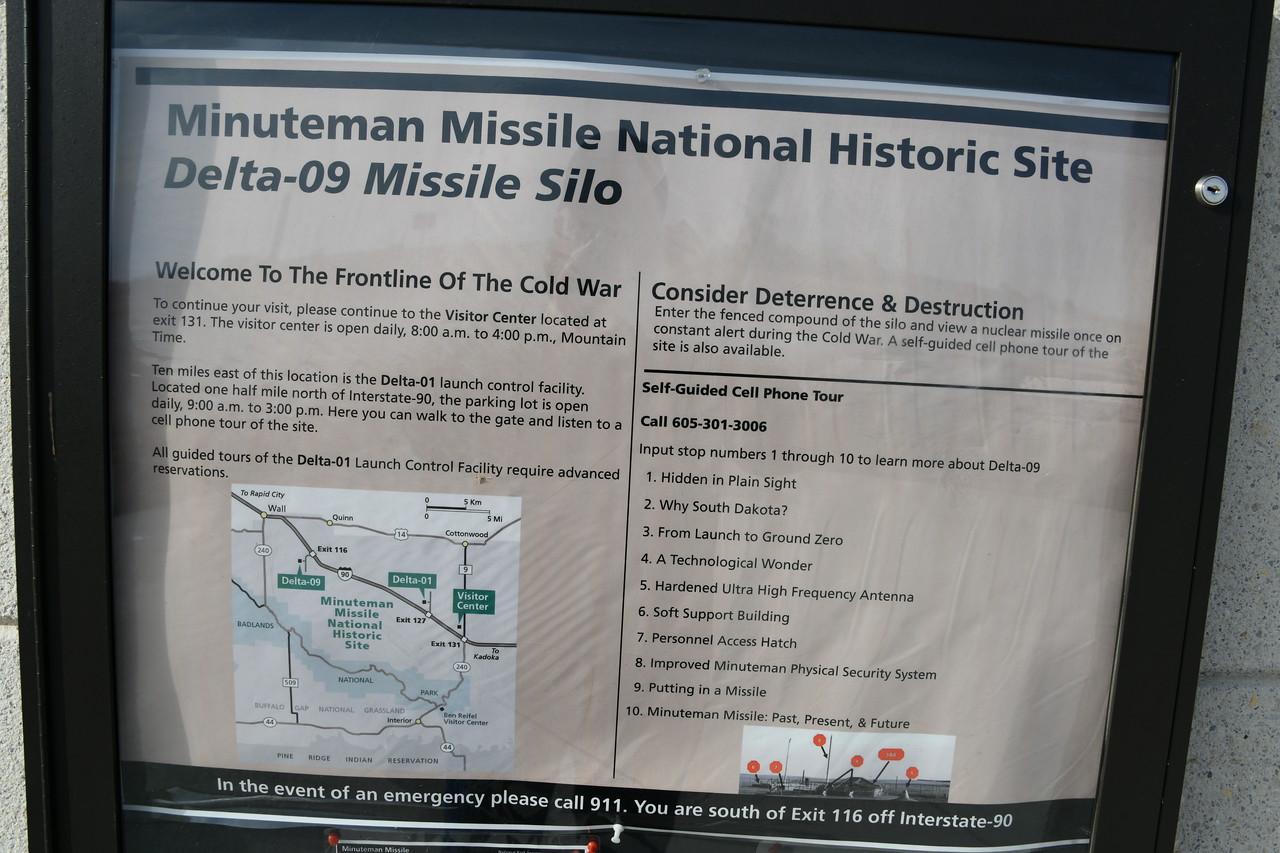
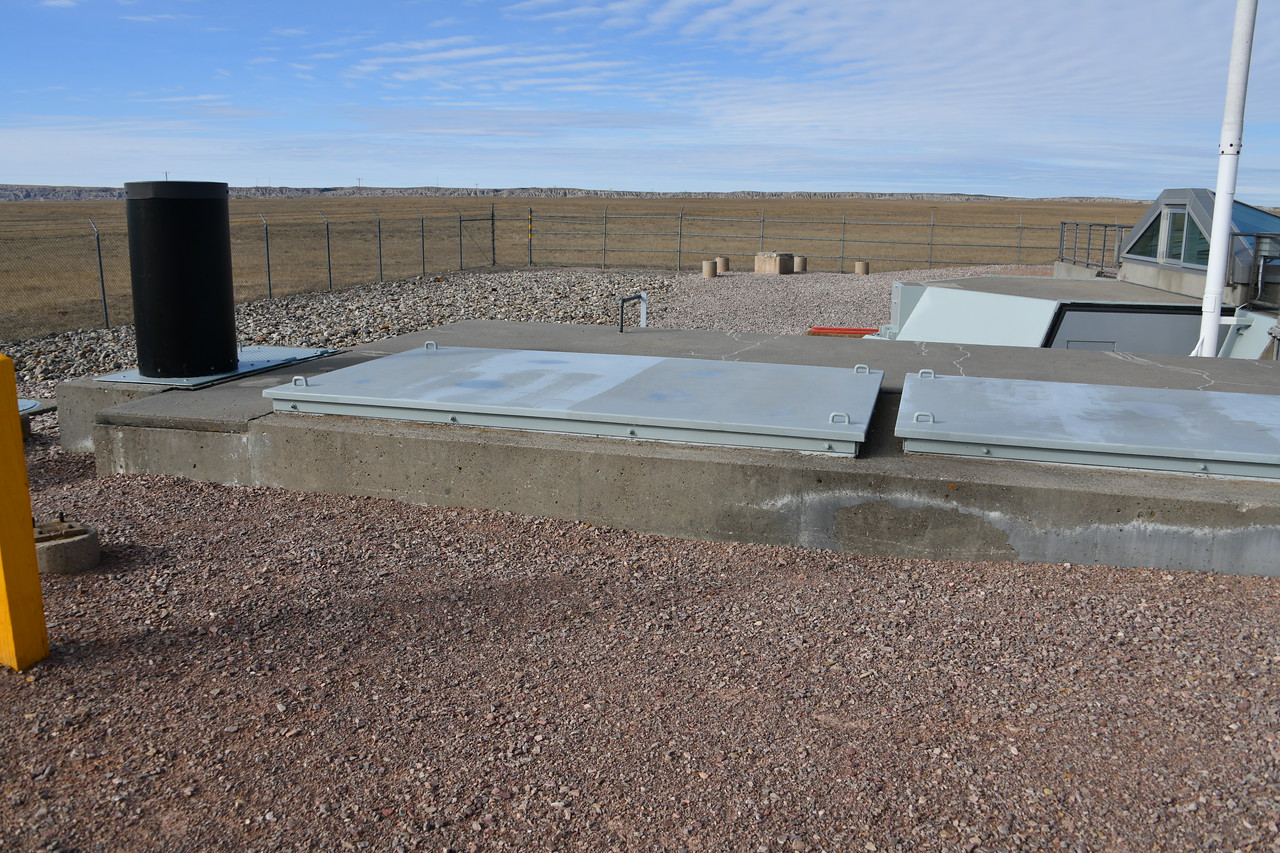
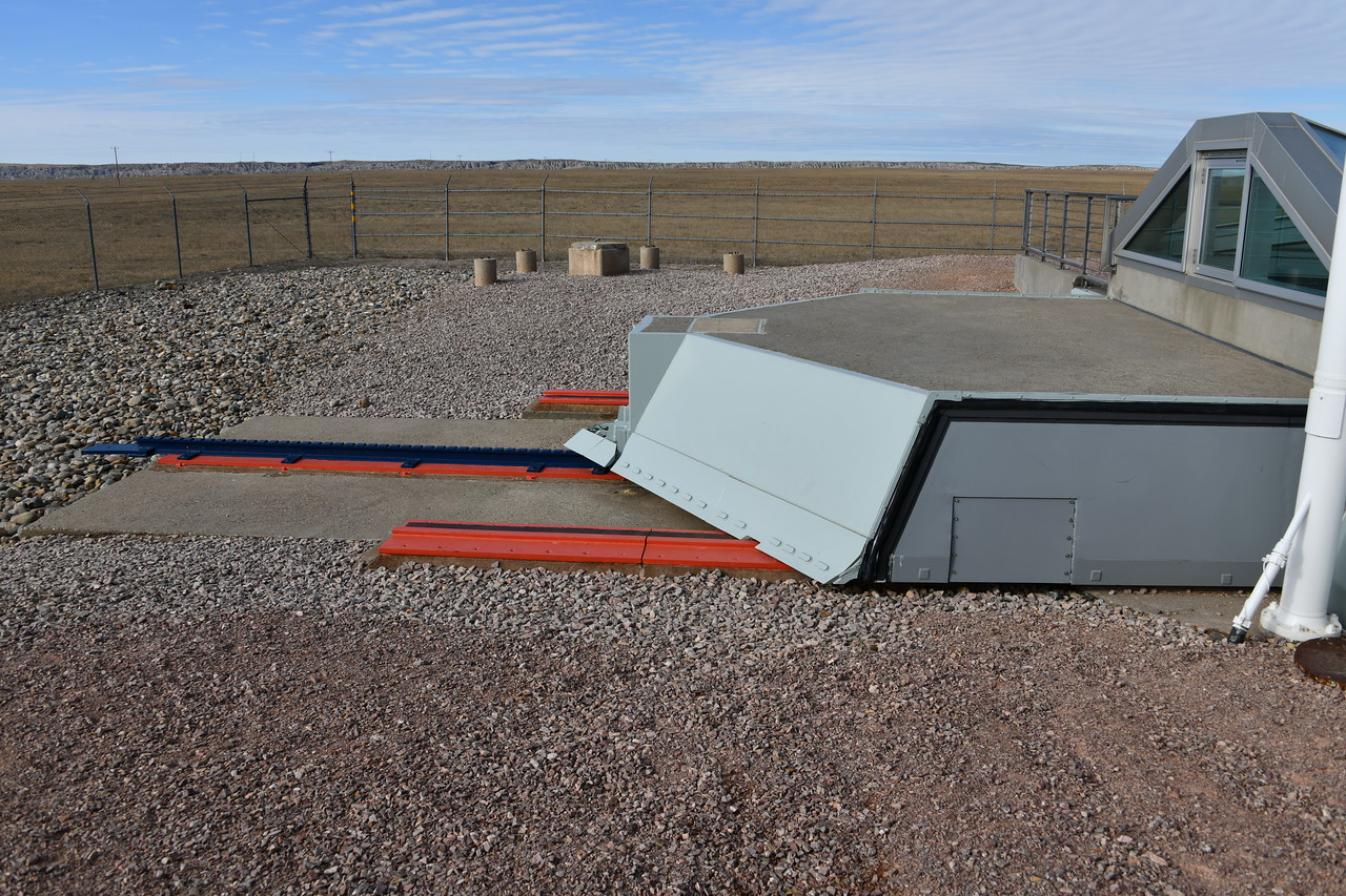
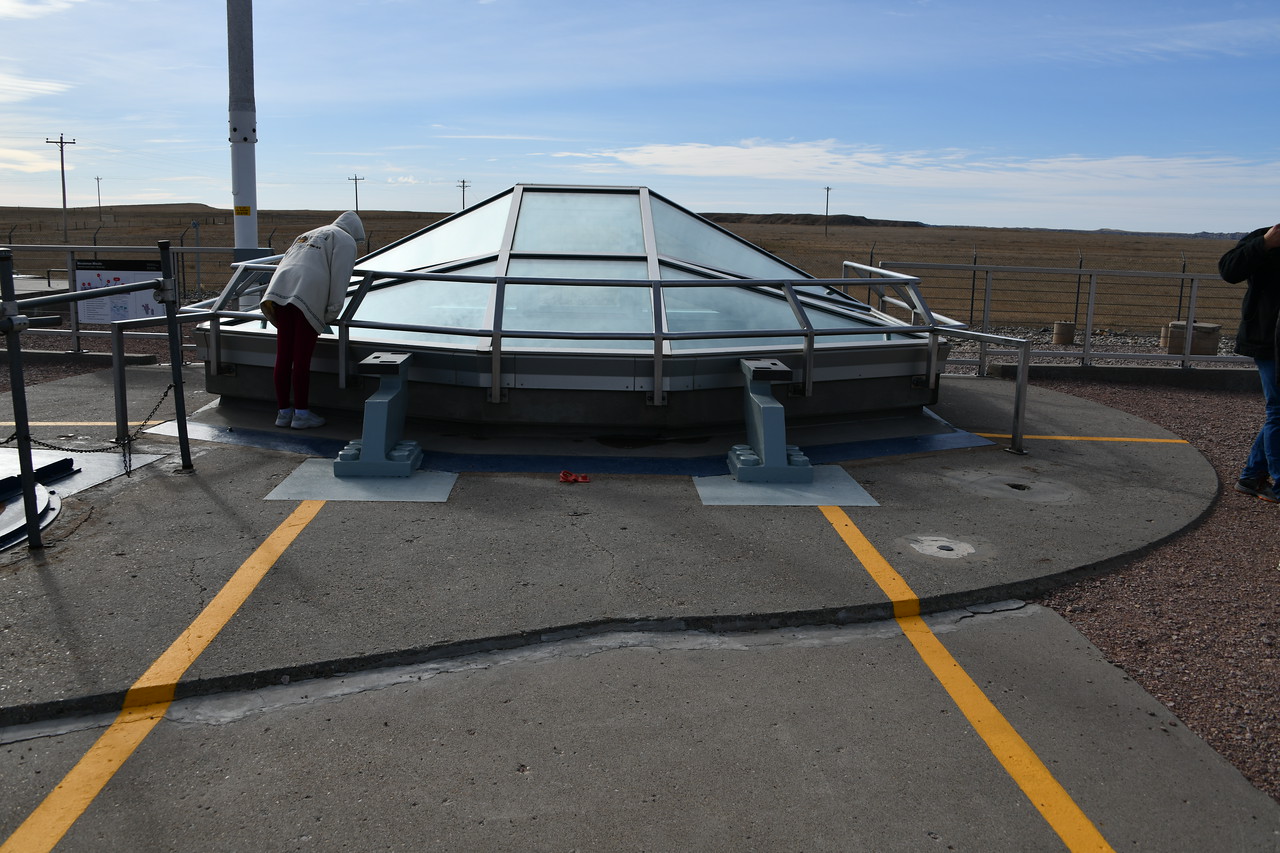
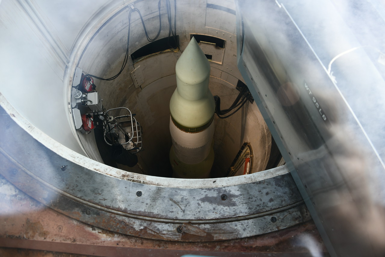
This one will have a few images regarding the Minuteman Missile National Historical Site. There are actually three parts to this facility. There is the visitor's center with its displays at Exit 131 on I-90 east of Rapid City, SD. Then there is the Delta 09 site where one can actually see a Minuteman Missile in its silo. That site is at Exit 116 on I-90 and south of the interstate. (The cover over the silo is heavy duty glass of some kind.) The third part of the facility is the launch control center. (See the following posting to see where they "say" it is located and where the map "shows" it to be. Guided tours are available for the launch center. It does require making a reservation for the tour and paying a fee. No idea of what the fee is nor how much time one needs to give to be able to get a tour because we didn't have the time to set a reservation.

This is the visitor's center, which is visible on the north side of I-90.
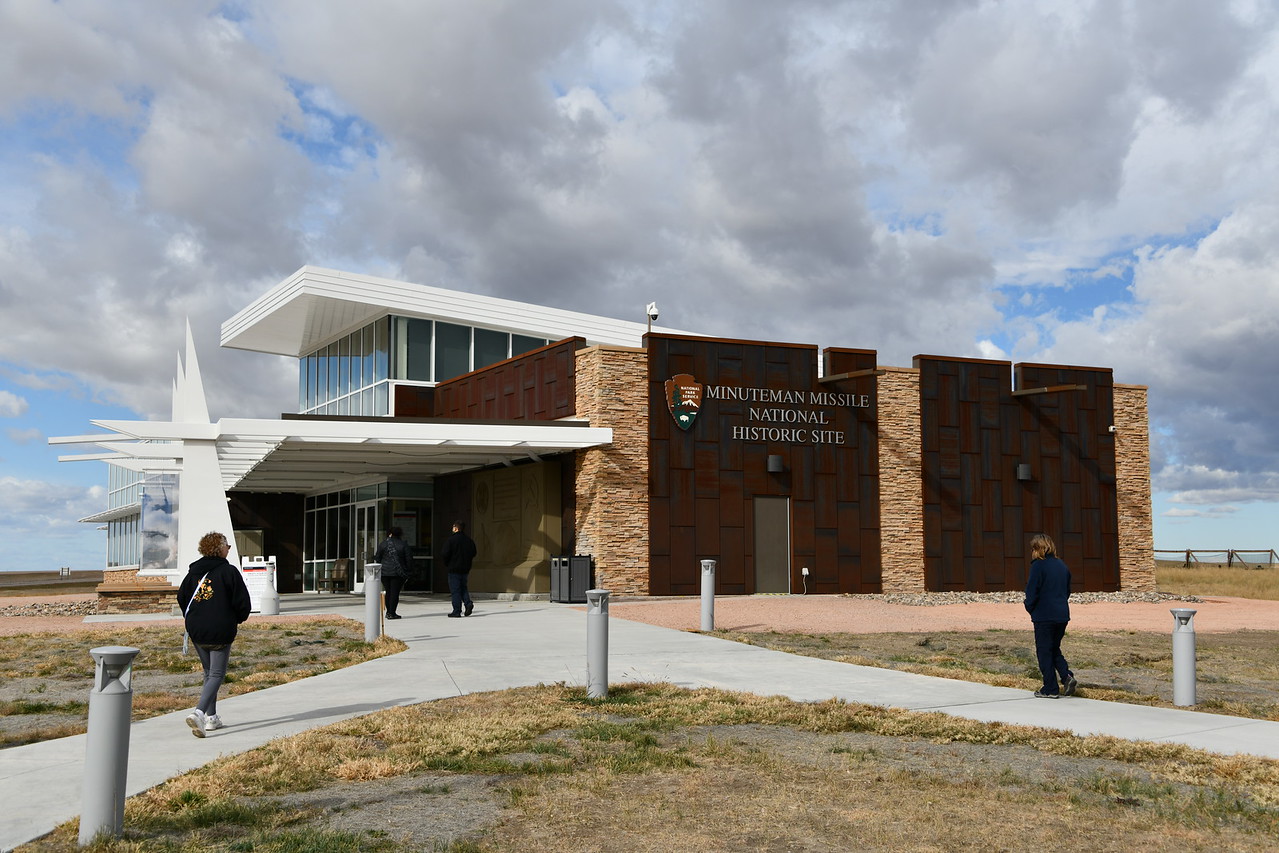


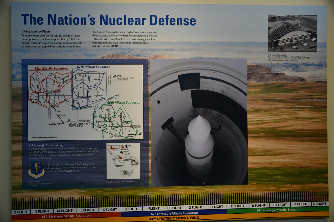
Displays within the visitor's center.


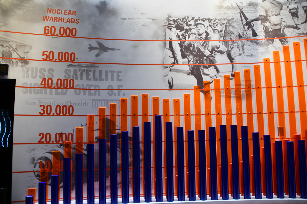
Graphic display of the number of nuclear weapons (missile or bomber carried) that the U.S. and Russia had.


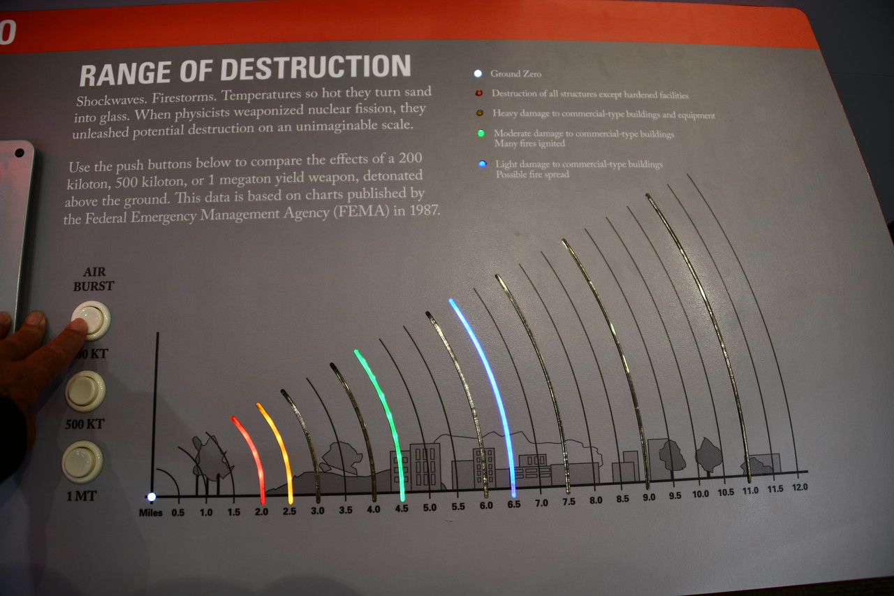
Graphic display of range of destruction of various sized weapons.


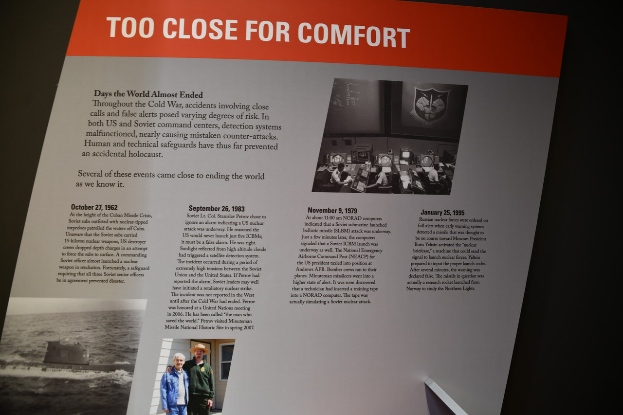
Incidents of near launch of missiles.
 
Last edited:

TerryMiller

Sharpshooter
Special Hen
Joined
Jun 4, 2009
Messages
20,099
Reaction score
21,134
Location
Here, but occasionally There.
This posting will have images from the Delta 09 site and its Minuteman Missile. There were some other people at the site that just wanted to hang around the silo area, so I failed to get a wider angle picture of what is seen there. I imagine one could search for Delta 09 Missile Site in a search engine and see more images.

This image indicates where the launch control center is located, which is 10 miles west of the visitor's center and on the north side of I-90. While the text of the information says the launch control site is East of the visitor's center, the map actually shows it West of the center.


TerryMiller

Sharpshooter
Special Hen
Joined
Jun 4, 2009
Messages
20,099
Reaction score
21,134
Location
Here, but occasionally There.
Awesome photos, as always, Terry. Mrs. GED and I plan on going to Mt. Rushmore someday.

Interesting observation here, so allow me to "set it up."

Back when men were beginning to settle the west, they had a tendency to stop every few miles and watch their back trail. They did that for two reasons; to determine if they were being followed AND to be able to recognize landmarks that they had passed so that they could find their way back if necessary.

That said: The Presidential Trail was marked with a sign pointing to our left, but I elected to go to the right. Doing so allowed me to get views of the figures that people traversing the trail "in the right direction" probably never even saw. However, and this is important, by taking the trail backwards, we did have to climb the 240 stair steps instead of being able to go down them. The 240 steps are NOT all together, so one could get a breather between sets of steps. Going backwards helped me see the Mountain Goat as well, but that was just being fortunate.
 

Raptor62

Sharpshooter
Special Hen
Joined
Jan 15, 2013
Messages
125
Reaction score
69
Location
OKC
Don't worry about breaking up a story. I went to answer it earlier, but you must have already deleted it while I was still viewing, and the forum wouldn't let me respond.

It is a beautiful area, and even though we drove through some areas, we came nowhere close to getting through all of the Black Hills, which is where Mount Rushmore, Iron Mountain Road, Needles Highway, and the Spearfish Canyon Scenic Byway (photos to come for Spearfish Canyon) are located.

As for the lens setups. The Nikon Z6 has the 24-70mm f/4 S lens. My Nikon D850 was used primarily with the Nikkor 28-300mm f/3.5-5.6 lens. With photos taken of the Bison and Bighorn ewes, I used the Nikon D810 with the Nikkor 200-500mm f/5.6 lens. In an upcoming series of photos, we also went to Devil's Tower in NE Wyoming and walked the 1.3 mile Tower Trail that circles the Tower. On that excursion, I used the D850 and 28-300 lens and the D810 with the Nikkor 14-24mm f/2.8 wide angle lens.

On the way back from Devil's Tower, we drove the Spearfish Canyon Scenic Byway.
Love my z6 also I always use the 28_300 on vacation d850 is awesome [emoji108]

Sent from my SM-N960U using Tapatalk
 

TerryMiller

Sharpshooter
Special Hen
Joined
Jun 4, 2009
Messages
20,099
Reaction score
21,134
Location
Here, but occasionally There.
Love my z6 also I always use the 28_300 on vacation d850 is awesome [emoji108]

Sent from my SM-N960U using Tapatalk

The 28-300mm has been a great lens. I use it as my "walking around" lens, allowing me to get either wide angle or telephoto without having to changes lenses. I used to have a D300 (DX camera) and an 18-200mm lens. (Roughly equivalent to a 28-300mm as an FX lens.) The 18-200mm lens is the only one for which I had any dislikes. With it, as I zoomed out to bring subjects in closer, the images appeared darker because of the difference in aperature. The 28-300mm has NEVER disappointed me.

I also have the Nikkor "Trinity" f/2.8 lenses and the Nikkor 200-500mm f/5.6 lens.
 
Joined
Oct 10, 2009
Messages
850
Reaction score
781
Location
Broken Arrow
Excellent pictures -- our family made the trip a few years ago. I missed the Delta 09 facility -- I believe its across the Interstate from Wall Drugs?

The South Dakota Air and Space Museum at Ellsworth Air Force Base outside Rapid City was excellent also -- they have a Minute Man II Silo trainer -- The facility has stairway instead of ladders.

We took the back roads into Devils Tower -- Excellent drive -- Our family went on the Ranger lead tour (the short hiking trail), around the base of the tower.The long hike takes you around the property line. Little Big Horn wasn’t too far from Devils Tower.

Just a little advice; if you decide to hike the trail at Mount Rushmore; from the flagpole line go right -- I remember the trail signs reading 200 plus rough steps -- By starting to the right you go down the 200 steps -- if you start left, the 200 plus steps are at the end going up to the Welcome center !!!!
 

Latest posts

Top Bottom